Innerthal: Cozy lake views near Zurich
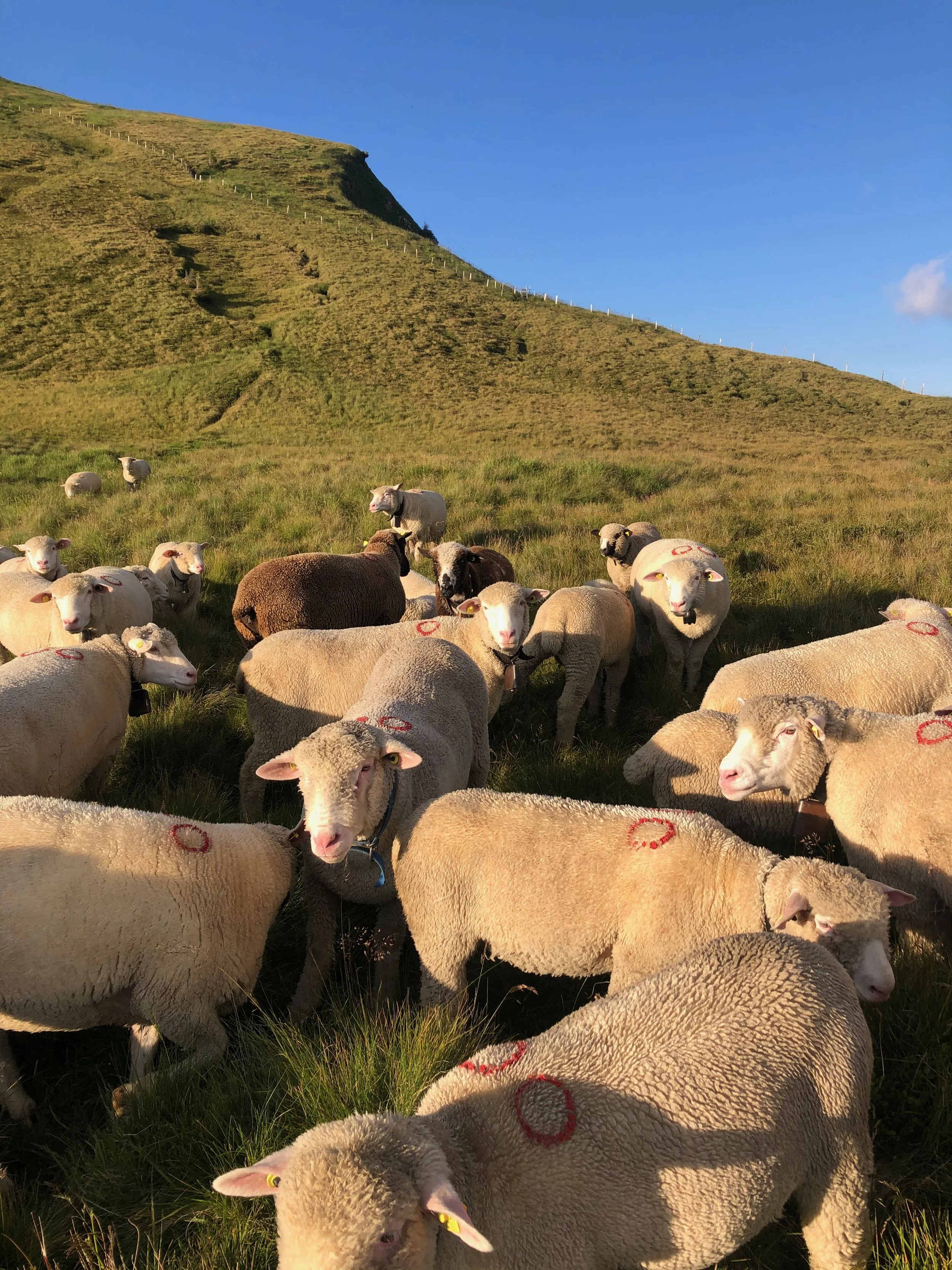
This has become one of the places that we bring our visitors because it is so easy to access from Zurich and has such a wonderful view looking out on Zurich one direction and out onto the Glarus Alps in the other. We actually stumbled upon this camping spot after I was inspired to camp there after a short hike. Funny enough, we didn’t have a plan of where to exactly sleep, but then we exhaustedly arrived at this perfect location. Sheep ran up to greet us when we arrived. They lost interest in us quickly and were able to set up dinner and our tent for the night.
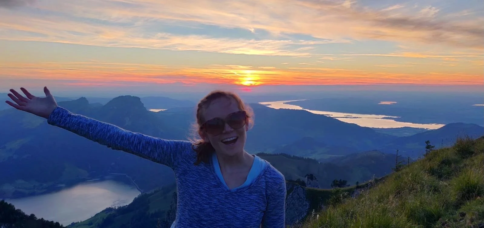
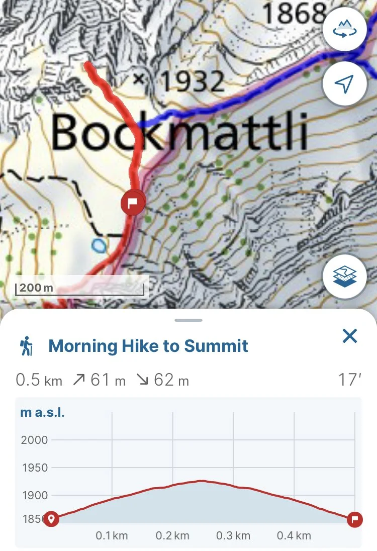
In the morning, we woke up at 6 o’clock to the lovely colors of the sunset dancing around our tent. The feeling of that early morning hike to the summit was so refreshing.
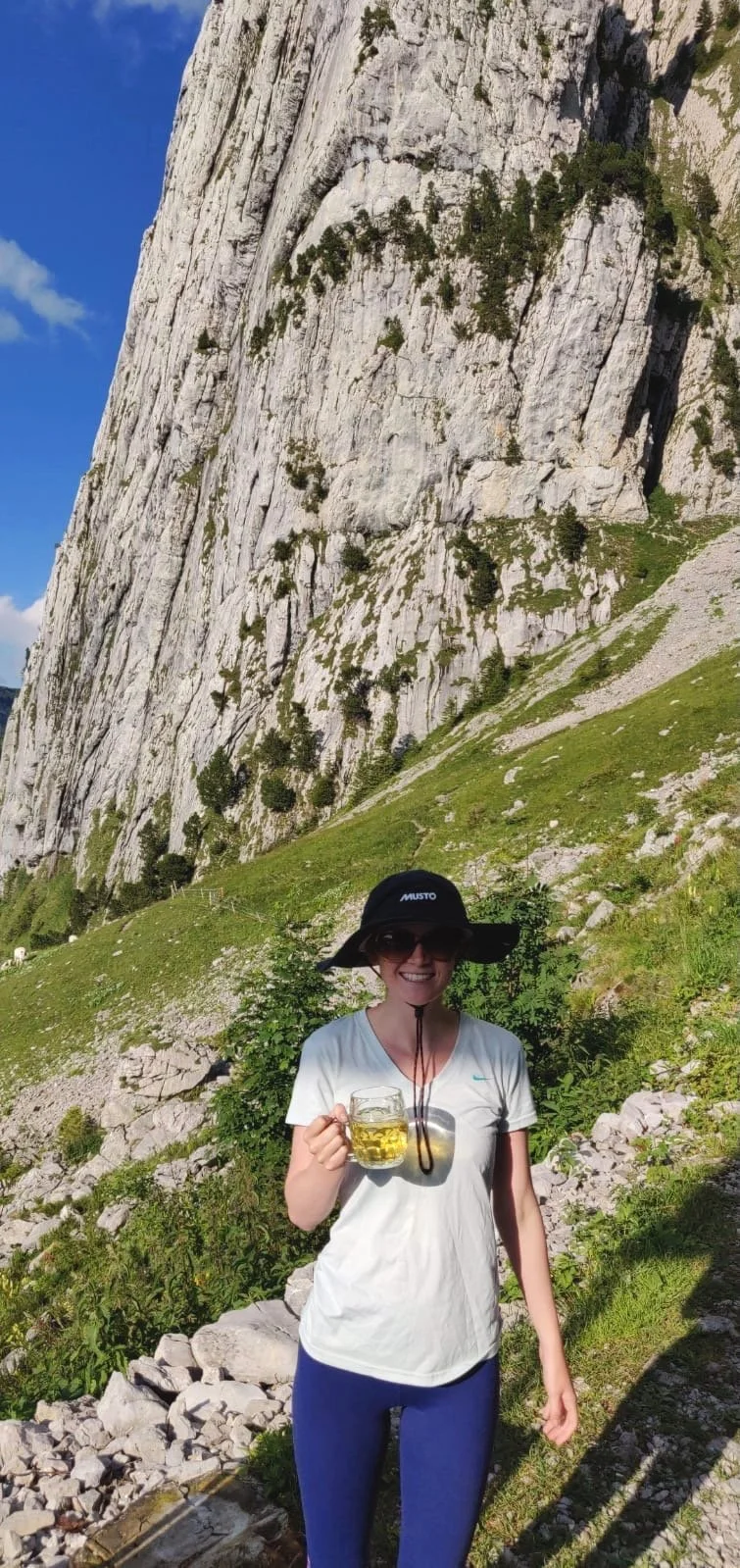
Around half way, there is hut, “Bockmattlihütte”. There you can recharge with a cold beer or radler (beer with lemonade - my favorite) and take a bathroom break in the out-house. The hut is run by a nice Swiss German speaking family. Make sure to bring cash to purchase your drinks. On the way back down, it was lovely to stop for a hot tea in the brisk morning air.
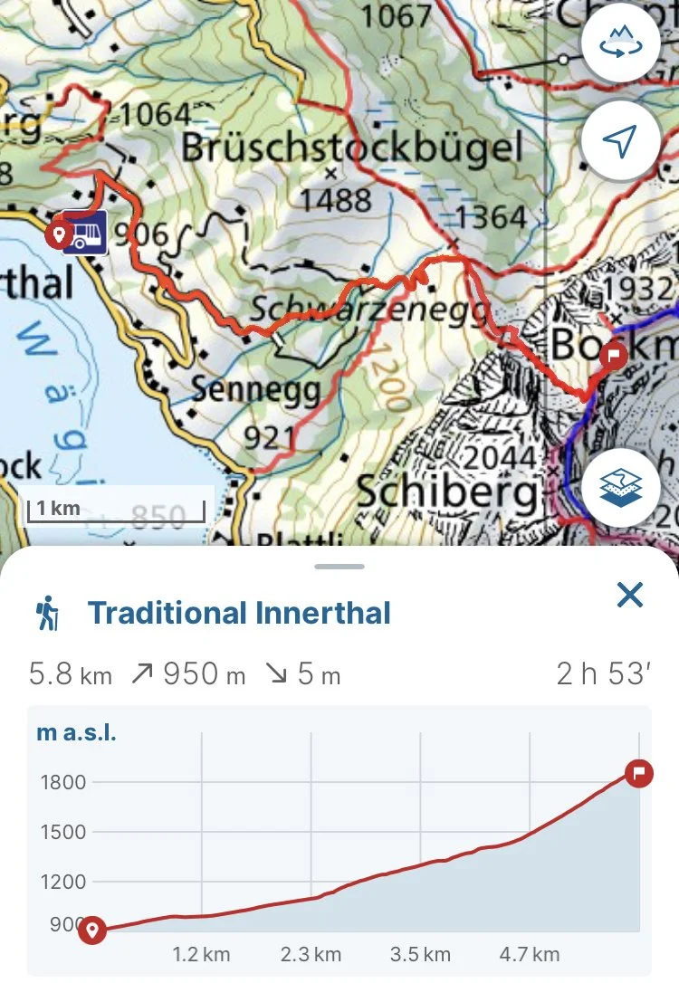
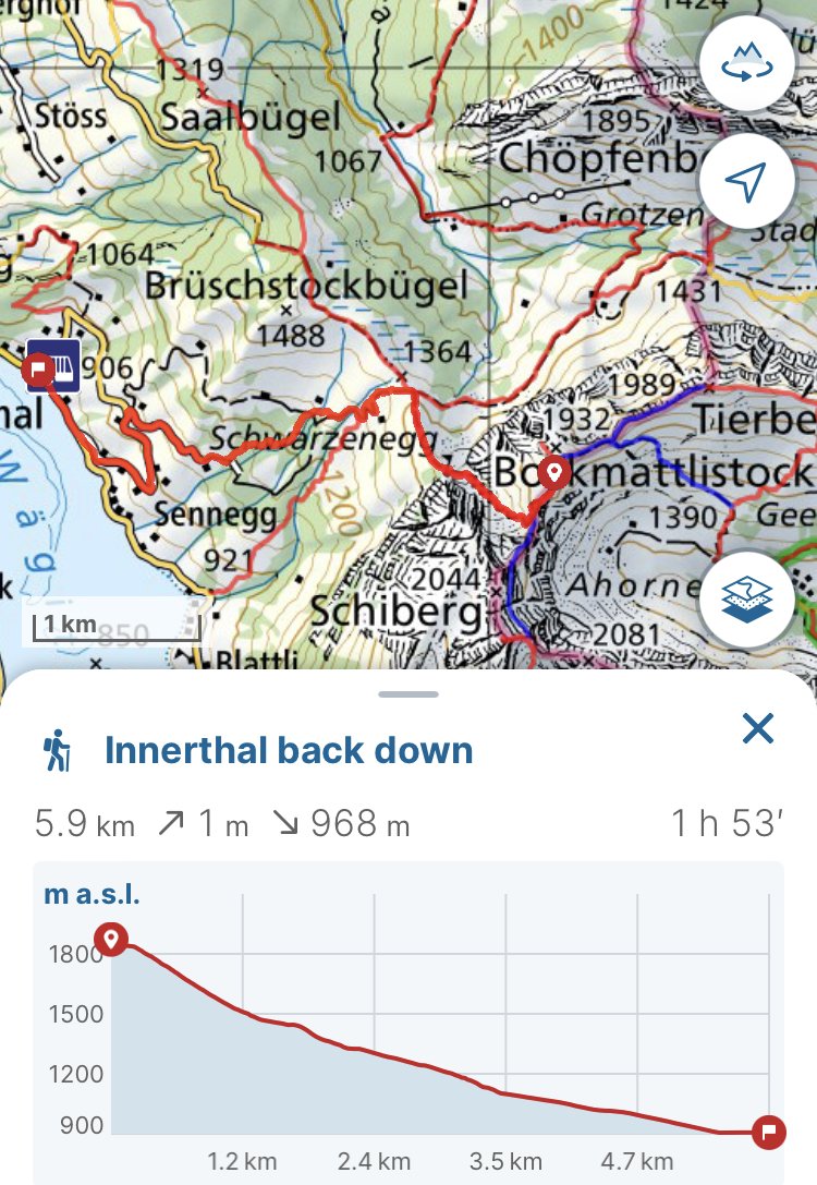
This is a wild camping spot, so it is above the tree line next to the hiking trail. When you reach the end of the marked trail on the GPX file, there are plenty of options to put your tent since the top of the mountain levels off there. There are a couple dips and holes in the area, so just stay aware. Some of the holes have been used for setting up camp fires, which is pretty useful since the wind can blow out your fire quickly as we discovered. The easiest morning hike is just to the peak of Bockmattli. After packing up for the day, you can follow the trail in reverse back down to the bus stop. Keep in mind that the bus only runs once an hour at XX:59.
Technical Information:
The GPX file is posted here:
Innerthal Hike Up to Camping Spot
To explore how to use the GPX file in Swiss Topo check out my tutorial in the article, “Hiking Maps”.
In the section:
The short morning hike to amazing sunrise views from the summit of Bockmattli:
GPX file of the hike back to the bus stop:
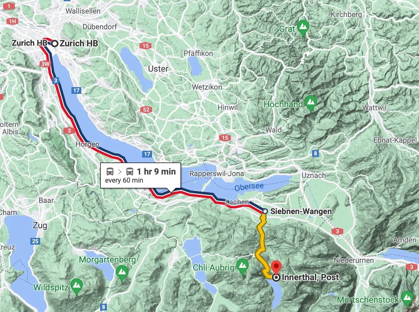
Starting and Ending Bus Stop: Innerthal, Post
The S2 train from Zurich HB leaves at XX:47 and arrives at Sieben-Wangen at XX:31, where the bus connection leaves at XX:34 and ends at Innerthal, Post at XX:56. The total train trip lasts 1h 9min. The limiting factor is the bus that runs only once an hour, since there are multiple trains that travel through Sieben-Wangen from HB every hour. The first connection is at 6:47 am from HB and the last is at 7:47 pm. However, since the hike up is approximately 3 hours, the best connections are the ones leaving HB between 1:47 and 3:47 pm. This depends on how much time you want to spend on breaks and how much time you want to have to set up your campsite and dinner before sunset. Sunset ranges between 9:30 pm in the beginning of July and 8:30 pm at the end of August. The best times of year to do this hike is July to September, since snow can last in patches until June and snow is possible in the highest areas by the end of September.
The bus back to Sieben-Wangen leaves every hour at XX:59 and then the connection at Sieben-Wangen leaves at XX:28 to arrive at HB at XX:12. The train trip is 1h 13 min on the way back.
Happy camping!
