Innerthal: Secret paradise nestled in the mountains near Zurich
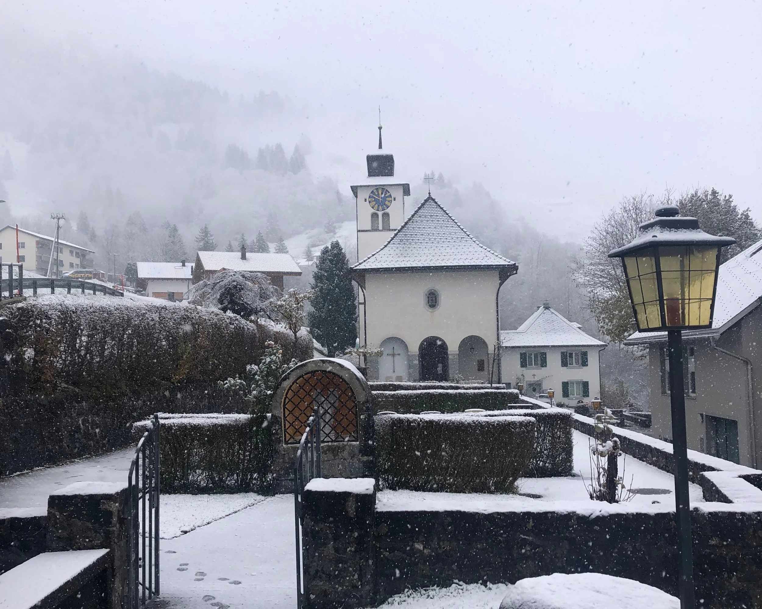
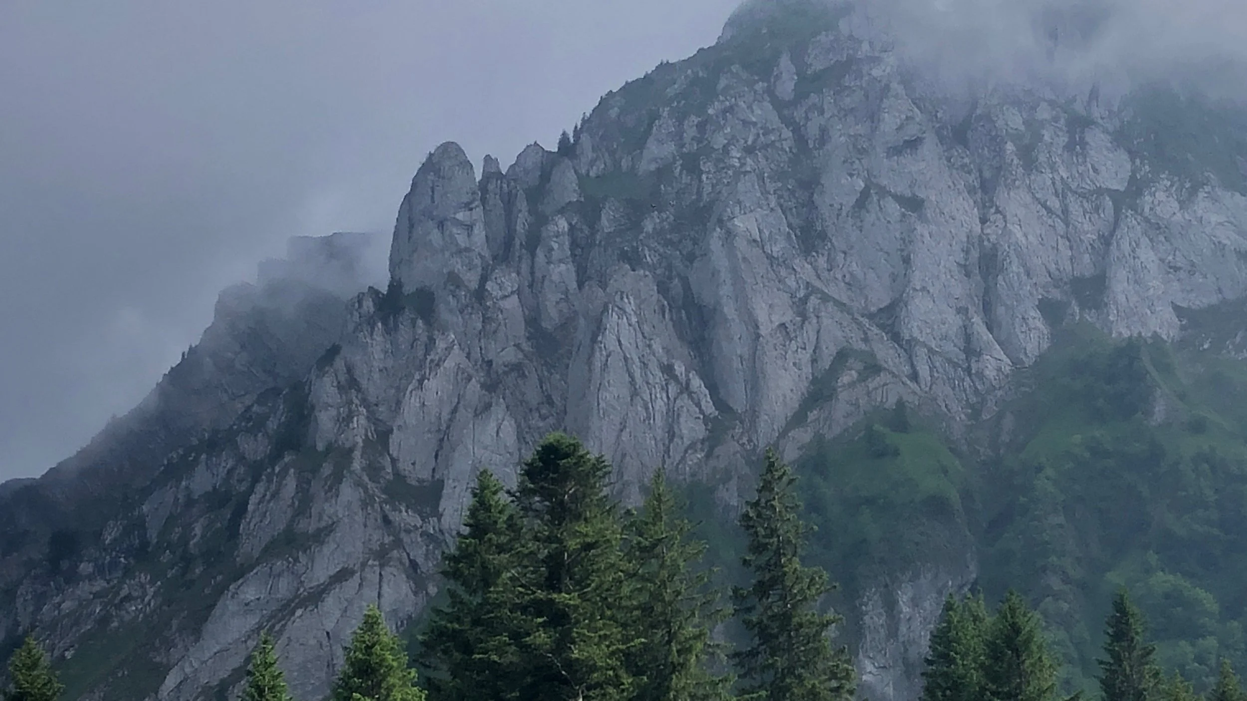
I stumbled upon this stunning place when I was looking for a quick hike near Zurich. Just scrolling around the map looking for a lake surrounded by mountains, then I found this small lake, “Wägitalersee”. I looked up more information about it and I was sold. Within the next hour, I was on the train heading to Innerthal, Post. Unfortunately, this was before I was introduced to Windy, so I was unaware of the snow there. The bus ride was magical with snow swirling around the bus as we twirled up hills to Innerthal. The clouds blanketed the lake and mountains so that the surroundings were entirely covered. I elected to walk around the tiny town and nearby forest to wait for the next bus in 1 hour. Right before the bus arrived, the mountains peaked out the top of the clouds. Those tiny pieces of mountain looked so majestic yet dainty that I was drawn in. I knew I needed to come back. Little did I know that this would turn into one of the places that I hold dearest to my heart. That year, I visited over a dozen times making precious memories. It is a place I will always come back to.
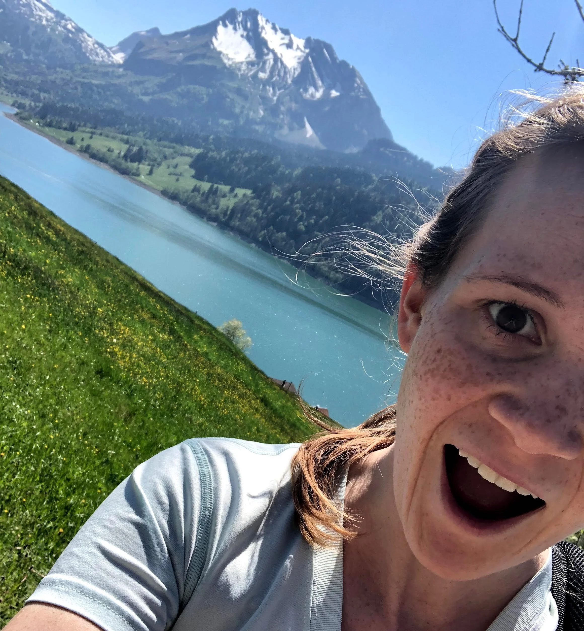
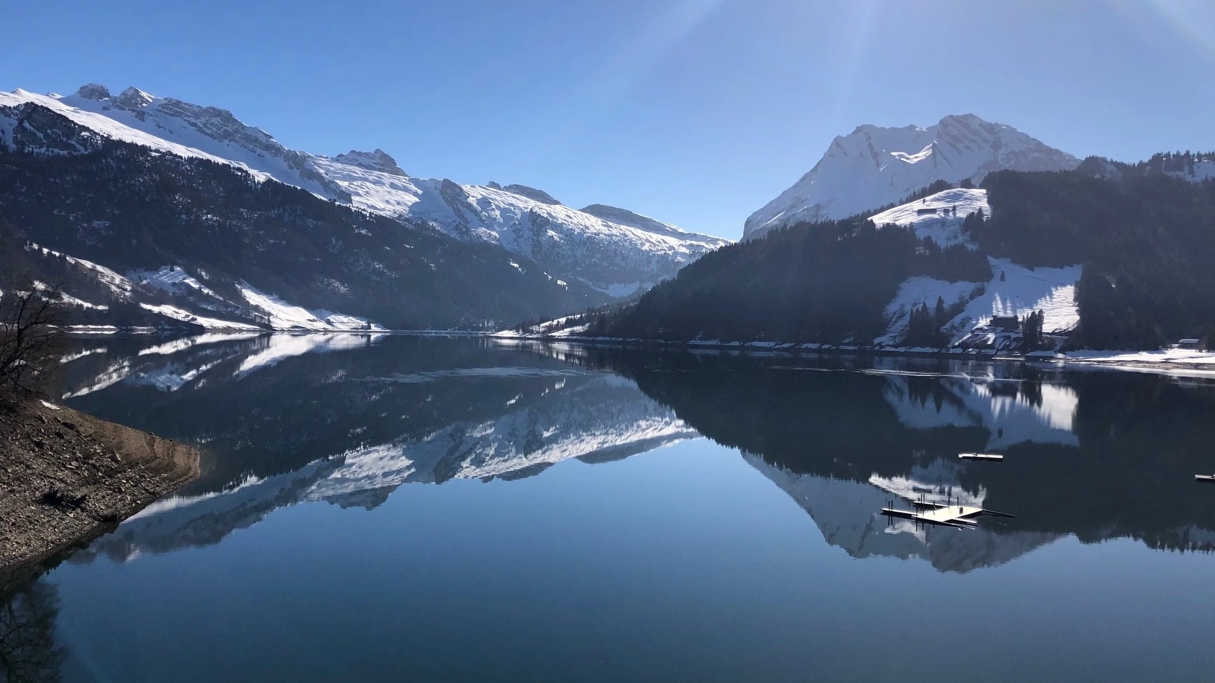
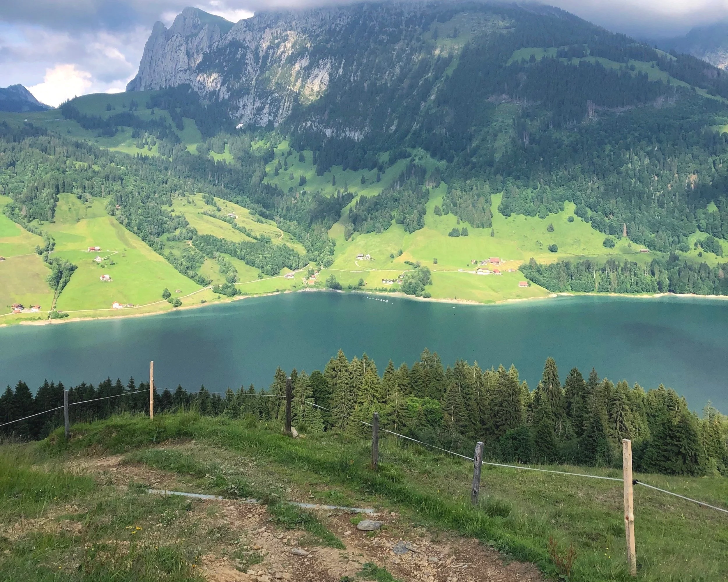
The next spring, I returned for my first hike of the season. I was shocked by the beauty of the turquoise lake and delicate, towering mountains. The difference was absolutely stunning! I was in awe the entire hike. I vowed to come back with my partner for a camping date soon; I had to show him this amazing place! There is article dedicated to our favorite camping spot here under the camping section.
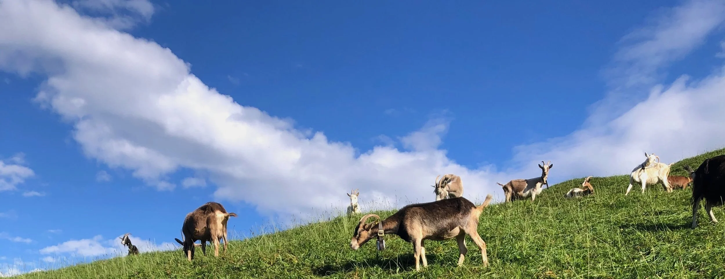
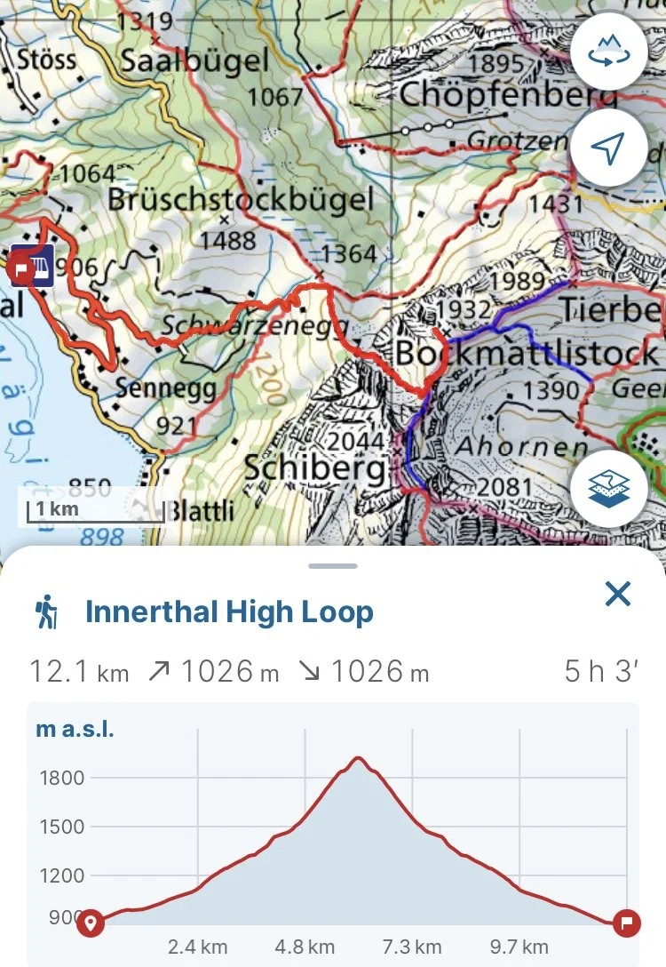
I find so much peace here no matter my mood, so I have a few different hikes that I do here depending on the season. The first hike is best for times of full energy, enthusiasm, and warm sunshine. I recommend late May to early September. This hike passes through fields of cute goats wiggling their tails, a charming hut with friendly keepers, and a breathtaking mountain pass to the summit of Bockmattlistock.
Bockmattlistock summit hike technical details:
Here is the GPX file:
Summit of Bockmattlistock hike
Instructions on how to load the GPX file into Swiss Topo can be found in the article “Hiking maps” in the Tips and Tricks page.
Starting/ending bus stop: Innerthal, Post
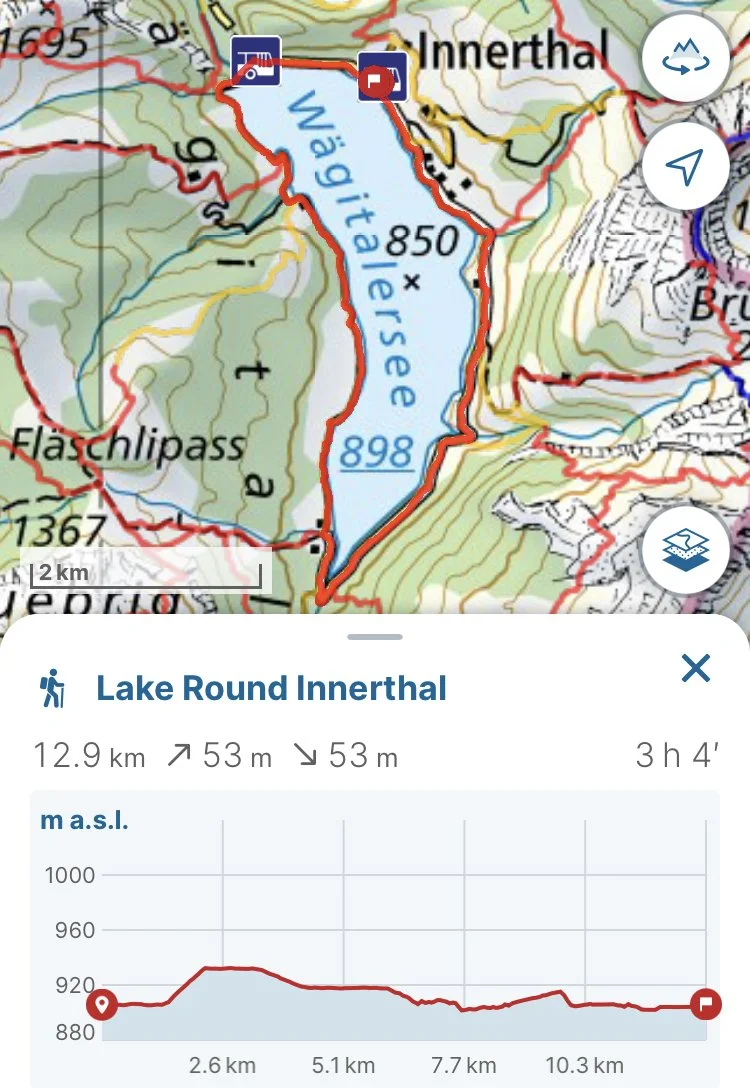
The second hike is calm and is perfect for any season. Most of the hike is along the road, but just after half way there is long portion on a trail that is not maintained in the winter. Therefore, waterproof boots and poles would be recommended. The first time I did it in the snow, it was February and my friend and I only had light hiking shoes. The first half of the lake was full of sun and snowless, but the side with the trail portion was in the shade with dense snow fields covering the entire hillside all the way to the edge of the lake. During the summer, the path is full of life with people enjoying the sun rays and lakeside view. Towards the end of the round, there is a lovely waterfall that is a splendid way to finish the journey. The path circles the lake and can completed at either the Innerthal, Post or Innerthal, Staumauer stop, depending on the timing.
Lake round route technical details:
Lake round route GPX file:
Starting/ending bus stop: Innerthal, Post/Staumauer
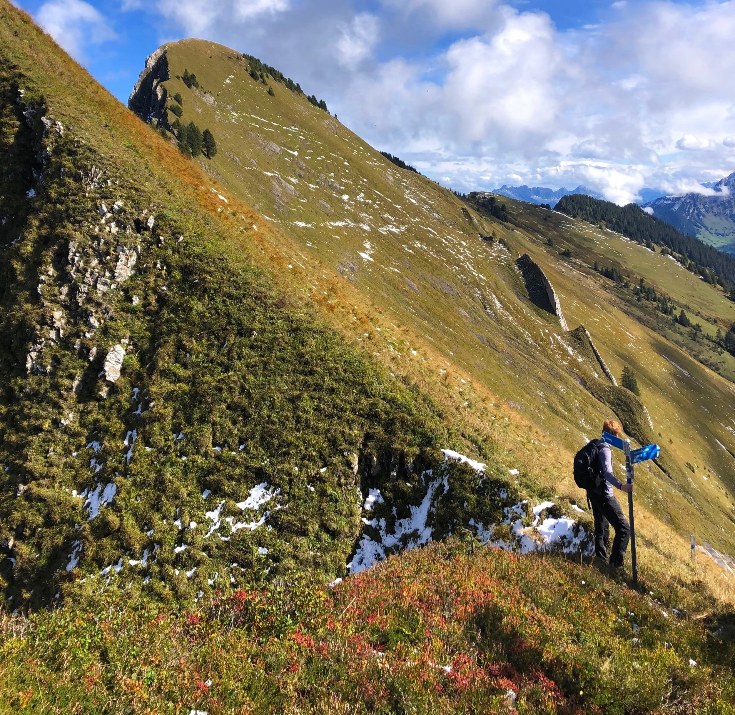
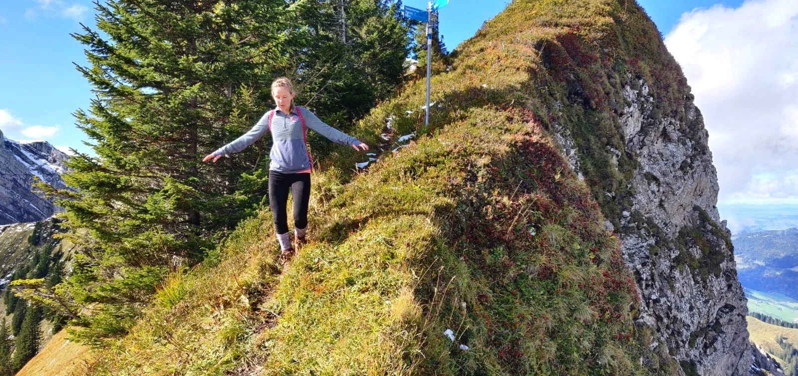
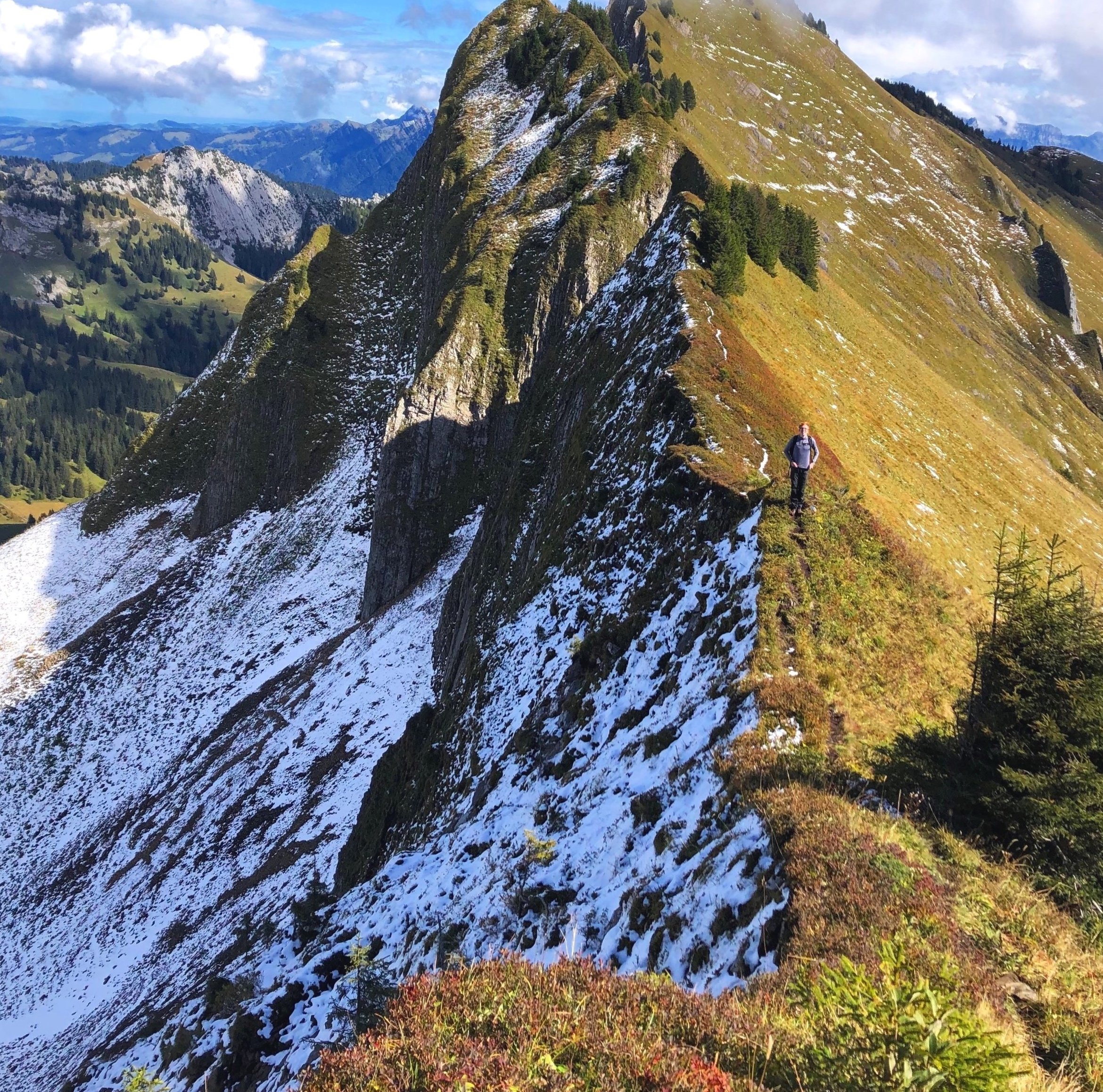
The next hike is challenging and technical, so it should only be attempted if you are a skilled and regular hiker. My partner and I hike intensely almost every weekend and it was frighteningly difficult for us. With that being said, it was one of the most breathtaking and insanely gorgeous hikes we’ve done. The reasons I heed extra caution are that the trail includes blue-white alpine sections, which are the most difficult paths in Switzerland and require extra mountain equipment and sure-footing, and that my partner suffered an almost tragic accident there. This path still touches me deeply because of that. I do not want anyone to be unprepared for this hike. We made the mistake of carrying on with the hike as planned despite the patches of melting snow. From now on we are more cautious and we hope to caution others to avoid careless, unnecessary accidents or injuries. I strongly recommend doing this hike when it is completely dry in the peak months of July and August.
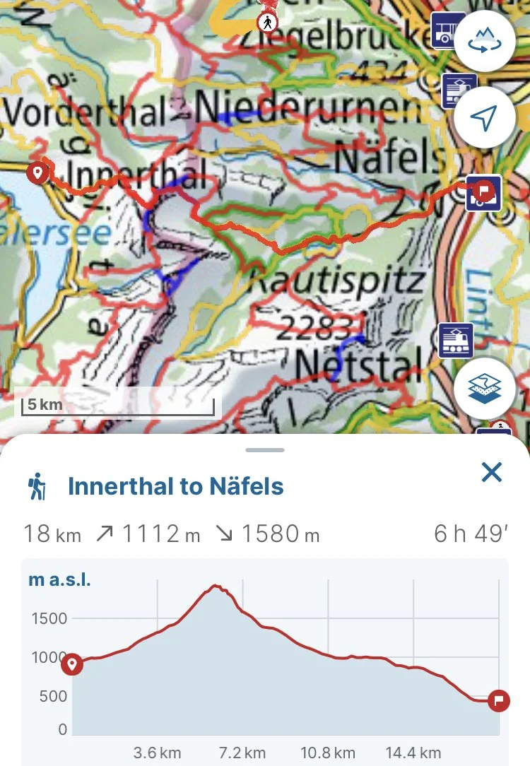
This hike starts off the same as the first hike to the summit of Bockmattlistock; however, this hike continues past along the ridge-line towards Tierberg. The path then goes down to Obersee and finishes in Näfels.
Innerthal to Näfels hike technical details:
Innerthal to Näfels route GPX file:
Starting bus stop: Innerthal, Post
Ending train stop: Näfels-Mollis
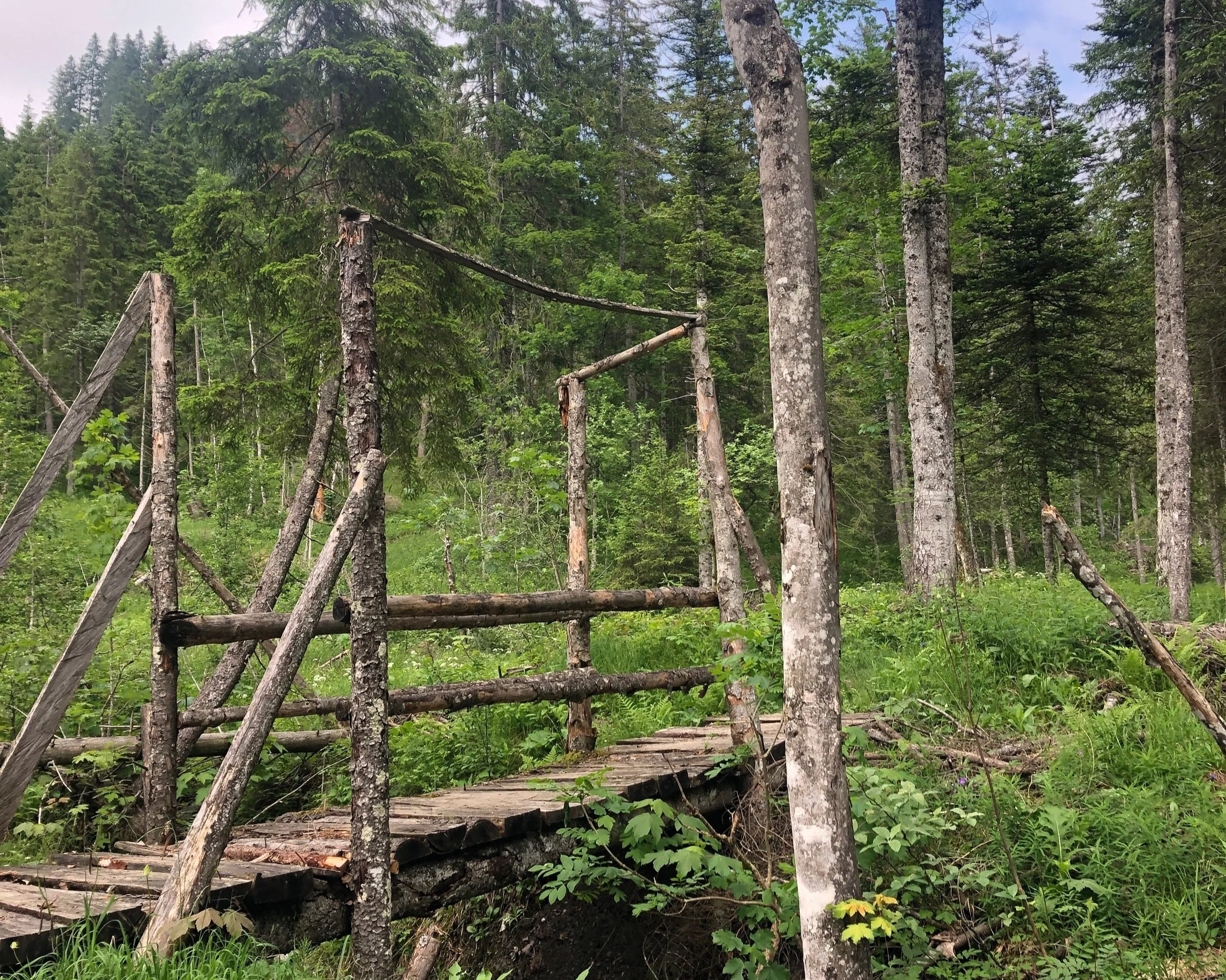
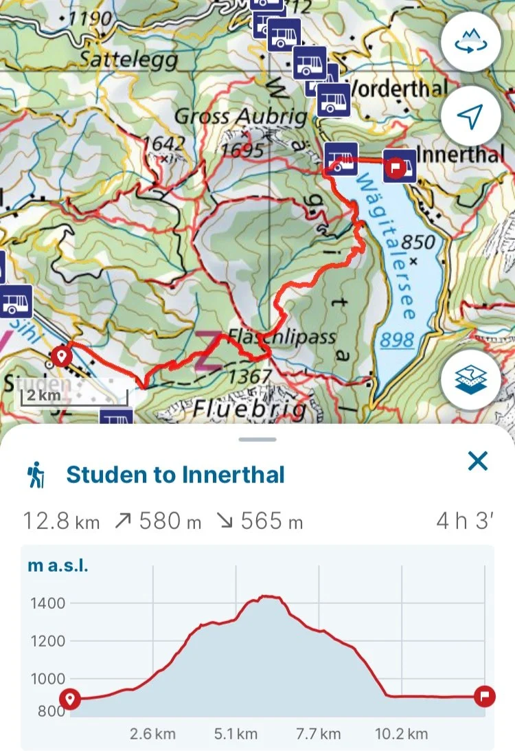
Unlike the prior hikes, this last hike does not start in Innerthal, but it ends in Innerthal. Similar to the round hike, this hike can be ended at Innerthal, Staumauer or Innerthal, Post. This hike begins at Studen and crosses the Fläschlipass towards Innerthal. This hike was planned for a quick afternoon around the iffy weather. It was slightly muddy, but was still a whimsical and charming hike with little troll bridges and lush forest and dramatic mountain side views. We were able to navigate around the weather thanks to help from Windy (check out the article about weather in Tips and Tricks).
Studen to Innerthal technical information:
Studen to Innerthal hike GPX file:
Starting bus stop: Studen SZ, Dörfli
Ending bus stop: Innerthal, Post/Staumauer
There are numerous hikes around the lake that we still want to check out, so keep an eye out for updates later on. Looking forward many more adventures here!

